Other

Intrepid Metals Identifies Several New Drill Targets Following Completion of Exploration Program at Corral Copper Project


Intrepid successfully tested a 3.5 by 1.5 km copper-gold-silver-zinc mineralized footprint aimed at assessing the potential to host economic carbonate replacement deposits ("CRD"), skarn, and related porphyry copper mineralization and encountered substantial shallow and high-grade mineralization (highlighted below). Please refer to Intrepid News Releases dated May 1, 2024, May 14, 2024, June 19, 2024, and July 9, 2024 for drill results.
Following the completion of the 2024 drill program, the Company has executed several explorations related activities, including utilizing machine learning from a World View III alteration study, a ground-based gravity survey designed to detect copper bearing CRD/Skarn related massive sulphides, and 3D inversion of historical VTEM magnetic data across the Property. During the 2024 drill program, the Company also competed the first detailed surface mapping within the Company's private ground, to further understand the geological architecture and define new drill target areas.
"It has been a busy summer for the Intrepid team on the heels of our successful phase one drill program, whereby we encountered mineralization in every hole we drilled," stated Ken Brophy, President and Chief Operating Officer of Intrepid. "As we advance our understanding of the geological potential within Corral, we are now utilizing modern exploration techniques to guide our planning for our phase two drill program which we anticipate commencing in the months ahead."
Highlights from the recent drilling include:
·
112.95m of 1.50% copper ("Cu"), 0.53 grams
per tonne ("gpt") gold ("Au") and 8.22 gpt Silver
("Ag") (1.66% copper equivalent "CuEq"1) from 68.40 to 181.35m in
Hole CC24_023 including,
63.40m of 2.57% Cu, 0.91 gpt Au and 14.14 gpt Ag (2.83% CuEq1) and
1.40m of 20.20% Cu, 8.51 gpt Au and 250.00 gpt Ag (23.85% CuEq1)
·
193.15m of 0.68% Cu and 0.33 gpt Au (0.83% CuEq1) from 27.00 to 220.15m in
Hole CC24_011 including, 105.20m of 1.17% Cu and 0.55 gpt Au (1.42% CuEq1)
48.85m of 2.24% Cu and 0.97 gpt Au (2.58% CuEq1) and
3.90m of 6.80% Cu and 1.02 gpt Au (6.54% CuEq1)
·
124.00m of 0.52% Cu and 0.35 gpt Au (0.73% CuEq1) from 10.00 to 134.00m in
Hole CC24_001 including,100.35m of 0.57% Cu and 0.41 gpt Au (0.81% CuEq1) and
4.00 m of 2.70% Cu and 0.89 gpt Au (3.06% CuEq1)
Exploration Targeting Update
During and after the completion of the 2024 diamond drill program at Corral, Intrepid conducted concurrent geological mapping, 3D geological modeling, ground-based gravity geophysics and a satellite (Worldview3) alteration study. The objective of these initiatives is to utilize the results from these activities to conduct exploration targeting and target ranking of infill and step out drill targets and to identify new (stand alone) exploration drilling targets for future drilling at Corral Copper. The various technical geological and geophysical surveys conducted at Corral will be the subject of upcoming news releases.
Surface Geological Mapping
As part of ongoing copper-gold-silver exploration at Corral, a three-week field mapping campaign was executed designed to 1) validate previous surface geological mapping efforts, 2) determine the structural environment of the zones of known mineralization and the alteration, 3) field review priority geophysical anomalies and 4) identify areas of interest for future exploration outside of the known areas of mined or drill tested mineralization.
3-Dimensional Geological Modeling
A comprehensive 3D lithological, structural and geochemical modeling effort was conducted in Q2/Q3 2024 incorporating new 2024 exploration data, historical drilling data and newly acquired surface mapping data to enhance Intrepid's understanding of the geological architecture of the Holliday, Earp and Ringo zones. This study focused on the 3D distribution of reactive host rocks (Abrigo Formation and felsic intrusions and their contacts), and the relative timing between faults/damage zones and folds which has been leveraged to establish infill and step out drill targets across the three main zones of mineralization at Corral.
Worldview 3 Satellite Alteration Study; Machine Learning
8-Band WorldView3 multispectral imagery (8 VNIR and 8 SWIR bands; 1.24m to 2.70 m GSD resolution) were sourced and processed by ALS Goldspot with the objective of generating exploration targets by highlighting key alteration minerals on the Property and placing them in the context of the Companies existing economic geological framework. ALS Goldspot produced an array of targets including 6 high priority targets and 9 priority 2 targets based on their alteration analysis which leveraged novel machine learning analysis techniques.
Gravity Survey
An orientation gravity survey consisting of 728 gravity stations was completed in Q3 2024 over the Ringo Zone and untested favourable host rocks to the east of Ringo. The survey was conducted to establish the gravity signature of the Ringo Zone and test for base and precious metal enriched semi massive and massive sulphides east of Ringo.2
Technical Information
All scientific and technical information in this news release has been prepared by, or approved by Daniel MacNeil, P.Geo. Mr. MacNeil is a Technical Advisor to the Company and is a qualified person for the purposes of National Instrument 43-101 - Standards of Disclosure for Mineral Projects.
Mr. MacNeil has verified the 2024 drilling data disclosed in this news release, including the assay and test data underlying the information or opinions contained in this news release. Mr. MacNeil verified the data disclosed (or underlying the information disclosed) in this news release by reviewing imported and sorted assay data; checking the performance of blank samples and certified reference materials; reviewing the variance in field duplicate results; and reviewing grade calculation formulas. Mr. MacNeil detected no significant QA/QC issues during review of the data and is not aware of any sampling, recovery or other factors that could materially affect the accuracy or reliability of the drilling data referred to in this news release.
Please refer to Intrepid News Releases dated May 1, 2024, May 14, 2024, June 19, 2024, and July 9, 2024 for additional details regarding the QA/QC procedures associated with the drill results and complete tables of the drill results.
About Corral Copper
The Corral Copper Property is a district scale advanced exploration and development opportunity in Cochise County, Arizona. Corral is located 15 miles east of the famous mining town of Tombstone and 22 miles north of the historical Bisbee mining camp which has produced more than 8 billion pounds of copper3. Production from the Bisbee mining camp, or within the district as disclosed in the next paragraph, is not necessarily indicative of the mineral potential at Corral.
The district has a mining history dating back to the late 1800s, with several small mines extracting copper from the area in the early 1900s, producing several thousand tons. Between 1950 and 2008, various companies explored parts of the district, but the effort was uncoordinated, non-synergistic and focused on discrete land positions and commodities due to the fragmented ownership. Intrepid has been able to secure data from various sources which provides a solid foundation in creating geological interpretations and identifying new target areas.
The Corral Copper Property is comprised of the Excelsior Property, the CCCI Properties, the Sara Claim Group and the MAN Property. The Company has completed the acquisition of the Excelsior Property and Sara Claim Group through purchase and sale agreements. The Company has the right to acquire the corporate group that holds the CCCI Properties through an option agreement. The Company has the right to acquire the MAN Property through an option agreement. See the "Commitments" section of the Company's most recently filed Management Discussion and Analysis for further details.
Intrepid is confident that by combining modern exploration techniques with historical data and with a clear focus on responsible development, the Corral Copper Property can quickly become an advanced exploration stage project and move towards development studies.
About Intrepid Metals Corp.
Intrepid Metals Corp. is a Canadian company focused on exploring for high-grade essential metals such as copper, silver, and zinc mineral projects in proximity to established mining jurisdictions in southeastern Arizona, USA. The Company has acquired or has agreements to acquire several drill ready projects, including the Corral Copper Project (a district scale advanced exploration and development opportunity with significant shallow historical drill results), the Tombstone South Project (within the historical Tombstone mining district with geological similarities to the Taylor Deposit, which was purchased for $1.3B in 20184, though mineralization at the Taylor Deposit is not necessarily indicative of the mineral potential at the Tombstone South Project) both of which are located in Cochise County, Arizona and the Mesa Well Project (located in the Laramide Copper Porphyry Belt in Arizona). Intrepid has assembled an exceptional team with considerable experience with exploration, developing, and permitting new projects within North America. Intrepid is traded on the TSX Venture Exchange (TSXV) under the symbol "INTR" and on the OTCQB Venture Market under the symbol "IMTCF". For more information, visit www.intrepidmetals.com.
INTREPID METALS CORP.
On behalf of the Company
"Ken Engquist"
CEO
For further information regarding this news release, please contact:
Ken Engquist, CEO
604-681-8030
Related Articles
Endeavour announces transaction in own shares...
10 Sep, 2024 07:27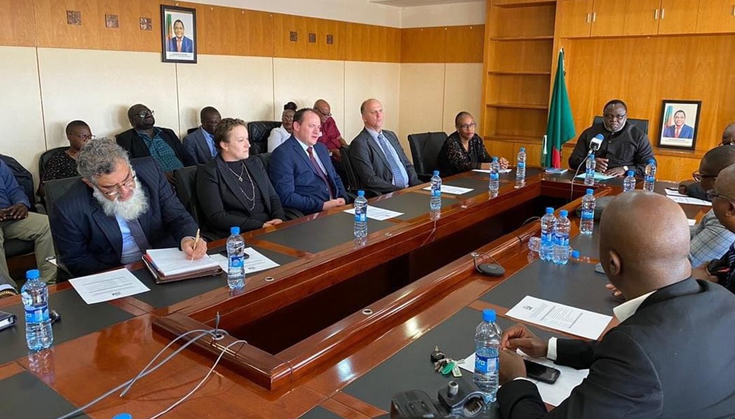
Ivanhoe Mines Announces MOU with Government of Zam...
10 Sep, 2024 12:24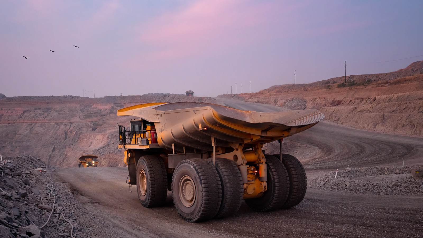
Feasibility Study on Lumwana Super Pit Expansion E...
12 Sep, 2024 14:21
Endeavour achieves commercial production at BIOX e...
13 Sep, 2024 08:20
Roscan Gold Announces Changes to the Board of Dire...
16 Sep, 2024 10:40
Minerals Council pays tribute to Pravin Gordhan...
16 Sep, 2024 12:17
Notification of an acquisition of beneficial inter...
18 Sep, 2024 08:39
Newmont on track to get at least $2 billion from a...
18 Sep, 2024 10:49
UAE firm plans to invest $500m in Tanzania...
19 Sep, 2024 08:37