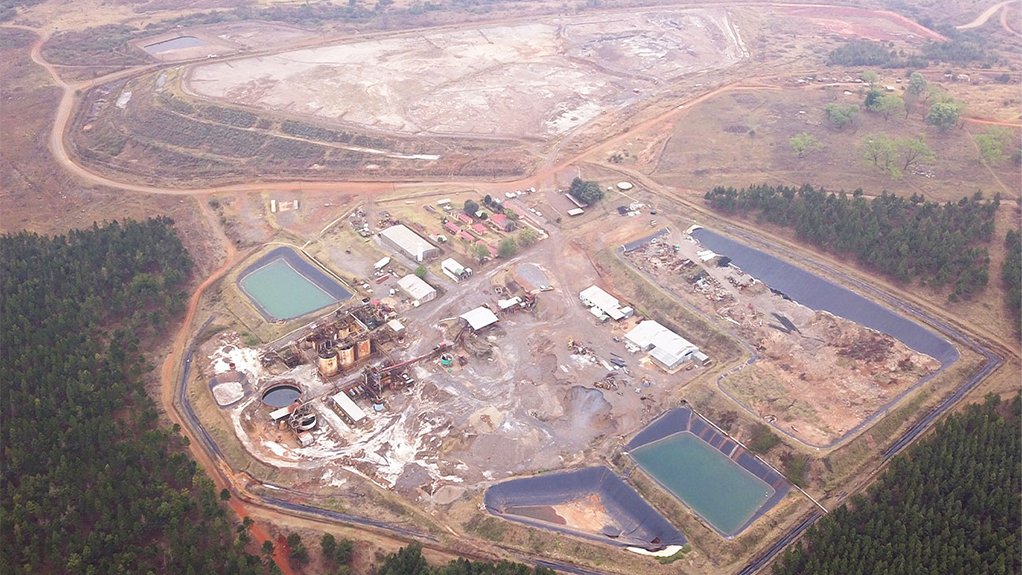
Precious Metals

Takeaways from AP’s report on Chinese gold mining threatening endangered protected site in Congo


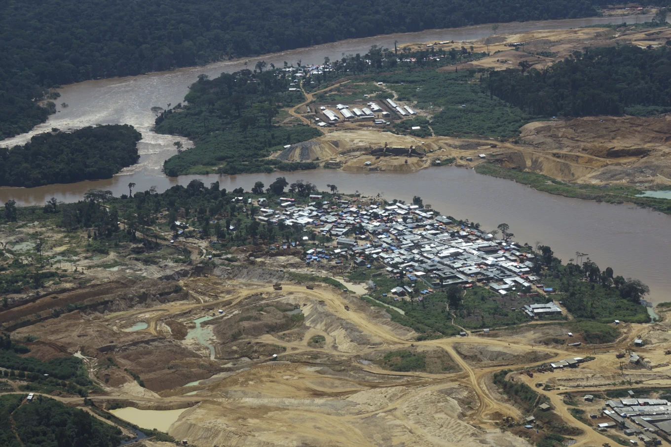
For eight years, a Chinese mining company has been vastly expanding inside an endangered World Heritage Site, accused by locals and conservationists of decimating the environment.
The Okapi Wildlife Reserve became a protected site in 1996, due to its unique biodiversity and large number of threatened species, including its namesake, the okapi, a forest giraffe, of which it holds some 15% of the world’s remaining 30,000. It’s part of the Congo Basin rainforest — the world’s second-biggest — and a vital carbon sink that helps mitigate climate change. It also has vast mineral wealth such as gold and diamonds.
The original boundaries of the reserve were established three decades ago, by Congo’s government and encompassed the area where the Chinese company now mines. But over the years under opaque circumstances, the boundaries shrunk, allowing the company to operate inside the plush forest.
Mining is prohibited in protected areas, which includes the reserve, according to Congo’s mining code.
Issa Aboubacar, a spokesperson for the Chinese company, Kimia Mining Investment, said the group is operating legally. It recently renewed its permits until 2048, according to government records.
Congo’s mining registry said the map they’re using came from files from the ICCN, the body responsible for managing Congo’s protected areas, and it’s currently working with the ICCN on updating the boundaries and protecting the park.
The ICCN told The Associated Press that in meetings this year with the mining registry the misunderstandings around the boundaries were clarified and the original ones should be used. An internal government memo from August, seen by AP, said all companies in the Reserve will be closed down, including Kimia Mining. However, it was unclear when that would happen or how.
The document has not previously been reported and is the first acknowledging that the current boundaries are wrong, according to environmentalists working in Congo.
Rights groups in Congo have long called on the government to revoke the Chinese permits, saying the mining ministry illegally awarded them based on inaccurate maps.
Contested boundaries
The Muchacha mine — the biggest in the reserve and one of the largest small and medium scale gold mines in the country — spans approximately 12 miles (19 kilometers) along the Ituri River and consists of several semi-industrial sites. Satellite images analyzed by AP show consistent development along the southwestern section of the Reserve, since it began operating in 2016, with a boom in recent years.
Joel Masselink, a geographer specializing in satellite imagery, who previously worked on conservation projects in the forest, said the mining cadastral — the agency responsible for allocating mineral licenses — is using a version of the reserve’s maps in which the area’s been shrunk by nearly a third. This has allowed it to award and renew exploration and extraction concessions, he said.
Changing World Heritage Site boundaries needs to be approved by UNESCO experts and the World Heritage Committee, which analyze the impact of the modification, a spokesperson for the World Heritage Center told AP. The Center said no request to modify the Reserve’s boundaries had been made and that cases of boundary modifications to facilitate development were rare.
Related Articles

Investigation uncovers fraudulent identity documen...
10 Sep, 2024 08:08
The Top Five Gold-Producing Countries in Africa in...
10 Sep, 2024 08:46
AngloGold notes ‘enormous geological potential’ in...
10 Sep, 2024 09:29
Awalé Resources expands BBM gold zone at Odienné p...
10 Sep, 2024 11:38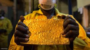
Proposed amendment: Gold mines to be subject to th...
10 Sep, 2024 12:39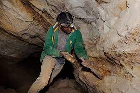
Pan African Resources Annual Result Improves; Expe...
12 Sep, 2024 07:42
African countries are joining the sovereign gold-b...
12 Sep, 2024 08:07
Platinum Group Metals Ltd. Announces Positive Inde...
16 Sep, 2024 09:11
At least 20 likely dead in violence near Papua New...
16 Sep, 2024 10:37